
Platform / Insight
Insight
A window into every geotechnical project in your organisation. Open on a map of every location you hold, browse, filter and export ground data without risk of touching it, and run lab testing across every project from one place.
Map
Every location in the company, on one map
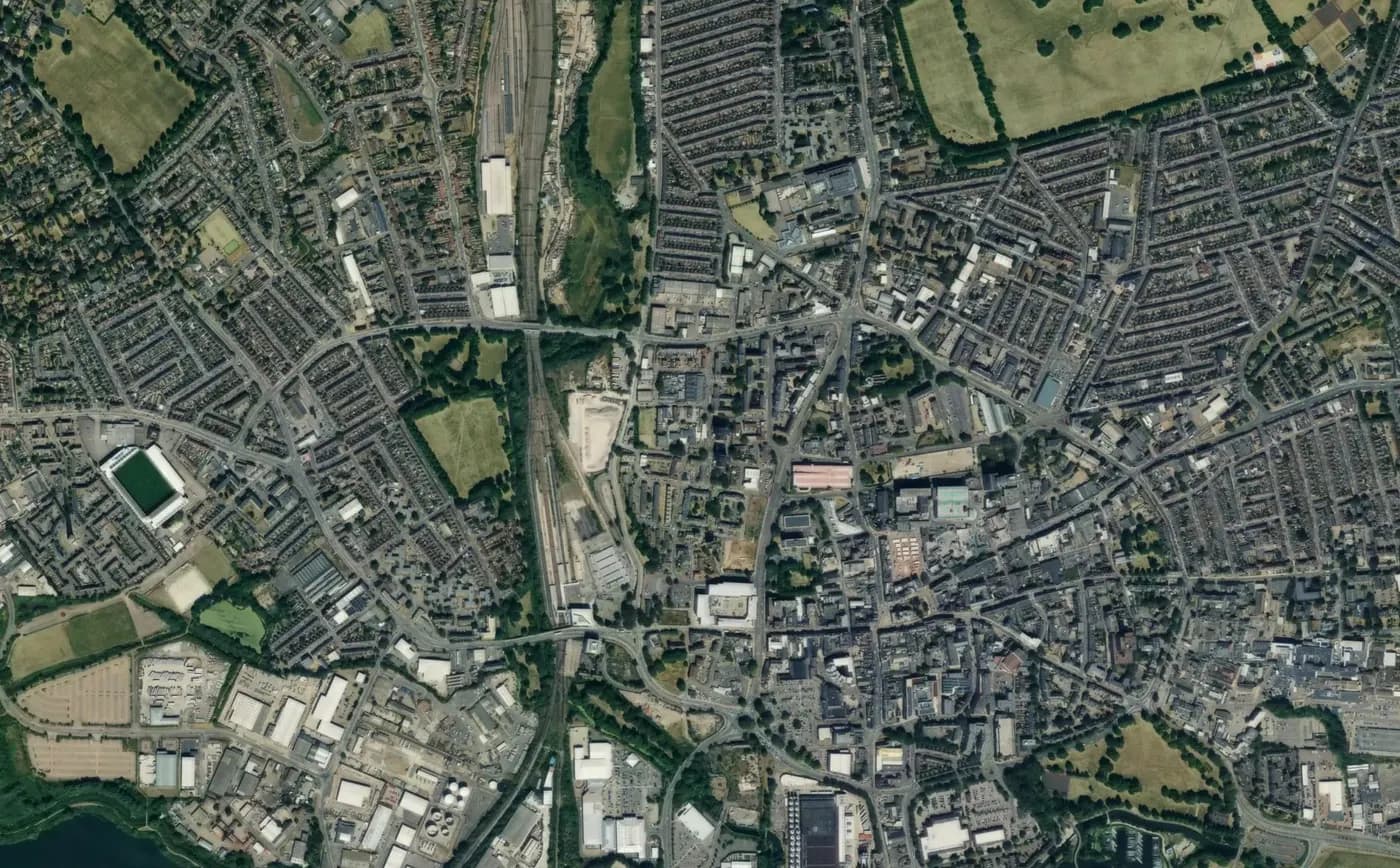
Insight opens on a map of every location your organisation holds, spanning projects that sit on different configurations, each resolved against its own coordinate mapping. Site boundaries drawn in Manage sit underneath with their styling intact, and locations that can't be plotted are counted by reason rather than lumped into a single total. Available on Pro.
Explorer
Browse project data with ease
A clean, read-only grid for every AGS group across your projects. Filter by project, switch tables instantly, and resize columns to fit how you actually work.
Export
Pull data out in seconds
Export the current view to CSV or JSON with a single click, or batch-export everything across your filtered projects when you need the full picture in one file.
Geology overlay
Geological context, one toggle away
Reviewing samples or in-situ tests? Toggle the geology overlay to see the corresponding stratum description for every record. Switch source layers between GEOL, DETL or any code in your data.
Every feature you need
The complete set of capabilities built to make your team faster, smarter and more confident in the field.
Company-wide map (Pro)
Every location in your organisation on one map, across configurations, with site boundaries underneath.
Base map switcher
Put your locations over satellite imagery or a plain street map, depending on what you're looking for.
Missing coordinates, explained
Locations the map can't place are counted by cause: none, half-entered, or out of range.
Location & boundary columns
The projects table carries location and site boundary coordinates in your configuration's preferred system.
Cross-project view
Browse data from every project in your organisation in one place. No jumping between configurations or accounts.
Project filtering
Filter to one project or many. Pick the slice of data you want and the grid updates live.
AGS group navigation
Switch between every AGS group in a click. Sidebar shows record counts so you know where the data is.
Geology overlay
Overlay stratum descriptions onto sample, test or in-situ tables to keep geological context inline.
Source code switching
Choose which geology layer to overlay - GEOL, DETL or any code present in your data.
CSV export
One-click export of the current view, ready for Excel, Sheets or any other spreadsheet tool.
JSON export
Structured JSON for integrations, scripts, or feeding into your own tools and pipelines.
Batch export
Need everything? Pull all filtered data across every project into a single file.
Column resize
Drag columns to size them exactly how you want for the view you're working with.
Permission-based access
Each user only sees the projects and tables they're entitled to. Set scope once and let the team explore.
Testing across projects (Pro)
Every schedule and chain of custody in one list. Filter by stage or overdue and update status in bulk.
Sample disposal (Pro)
Samples fall due a set time after the report issues or results come back. Keep a project or a single sample longer, and record each disposal with its route.
Ground data stays read-only
Stakeholders see live data with no risk to your records. Only lab testing can be updated.
Live record counts
See how many records are in each table at a glance, and how that updates as you filter.
Working in Europe? See which grids and countries are supported.
More from the platform
Each product is built to work on its own and even better together. Mix and match the parts your team needs.
Frequently asked questions
Everything you need to know about GIMLabs. Can't find an answer? We're happy to help.
View all FAQs